Sahalie and Koosah Falls Trail
The drive from Bend
Roughly 60 miles, about an hour and fifteen. You take US-20 west through Sisters, over Santiam Pass, then turn south on OR-126 for about 5 miles and the Sahalie Falls lot is on your right. The trailhead is on Highway 126 in the central Cascades, officially the McKenzie Pass–Santiam Pass National Scenic Byway, about an hour and fifteen from Bend. Hike Oregon clocks the Bend route at 57.6 miles total, merging onto US-20 west toward Sisters, then OR-126 for 5.2 miles to the Sahalie lot. From Sisters alone it's about 40 minutes
The hike itself
The Waterfalls Loop Trail is 2.6 miles long with about 380 feet of elevation gain, topping out at around 2,995 feet. Other sources put the gain at 400 feet or 367 feet — call it "under 400" and you're safe.
AllTrails users average 1 to 1.5 hours. Add time if you're stopping for photos, which everyone does
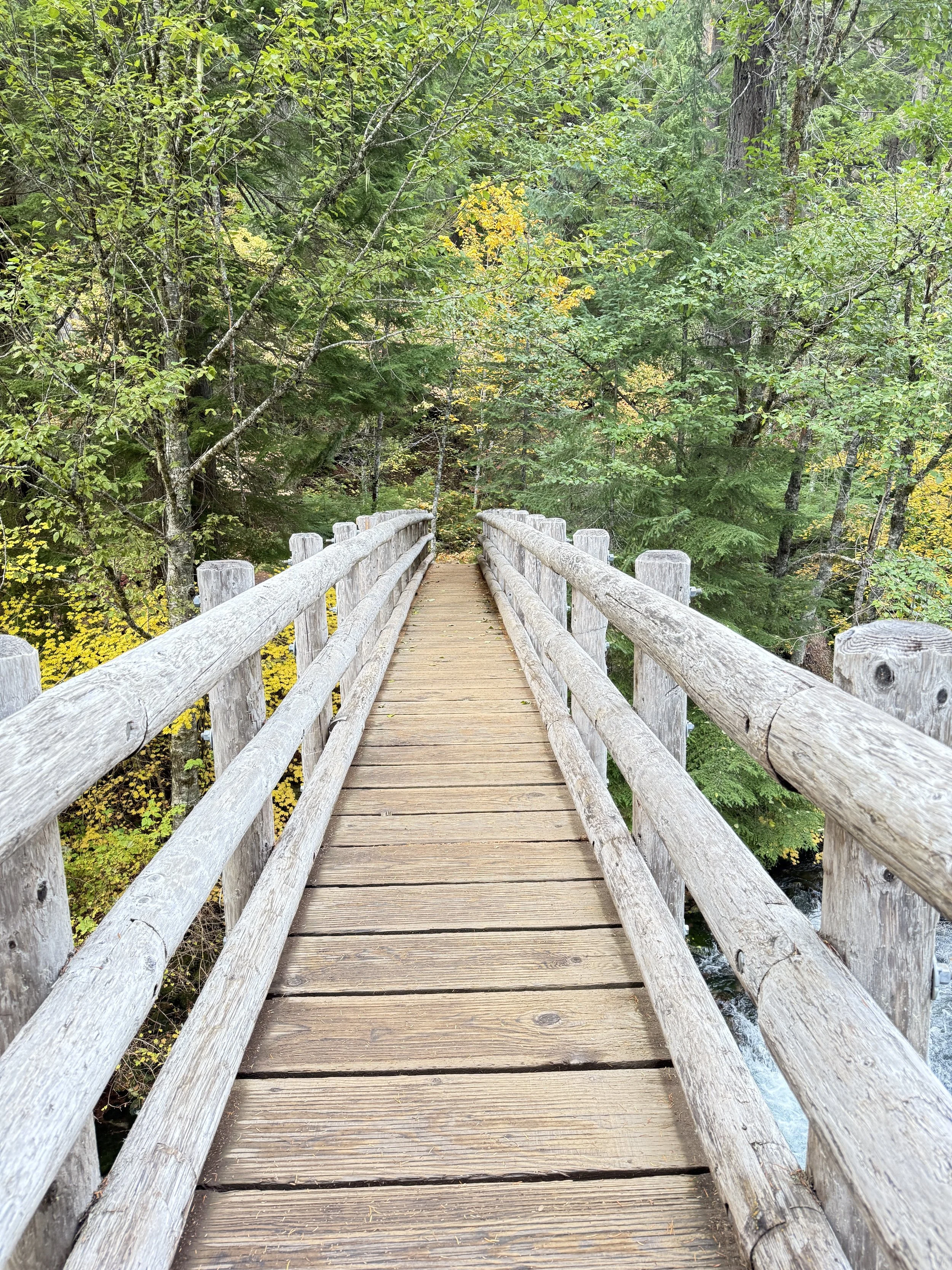
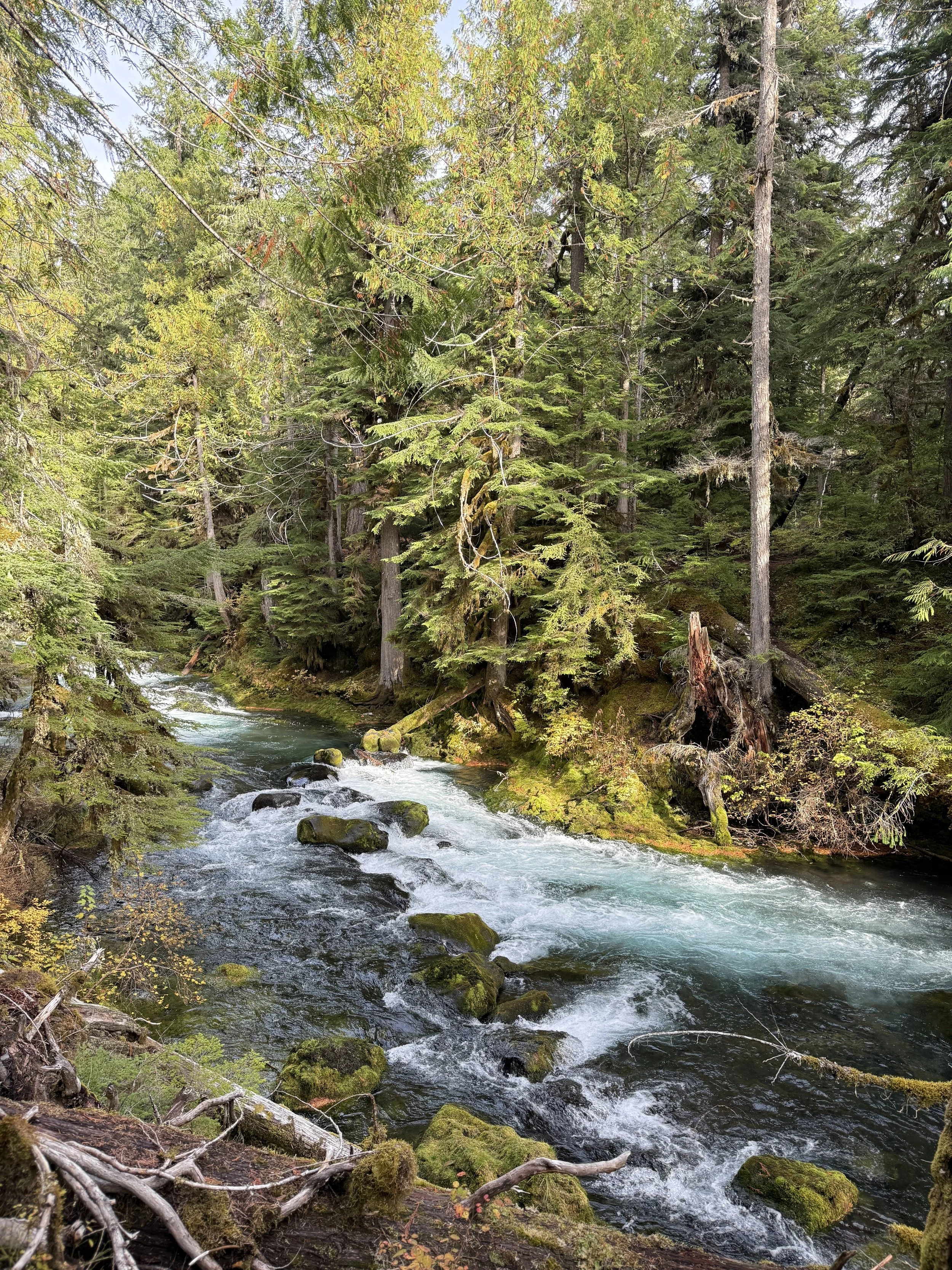
You walk down one bank of the McKenzie, cross a one-lane bridge near Carmen Reservoir, and come back on the quieter west side away from the crowds.
West-side viewpoints have no railings, worth mentioning if your readers are bringing kids.
Both falls have their own parking areas; both are free, and dogs are welcome on leash. No day-use permits required — no Northwest Forest Pass, nothing
Don't-want-to-hike option
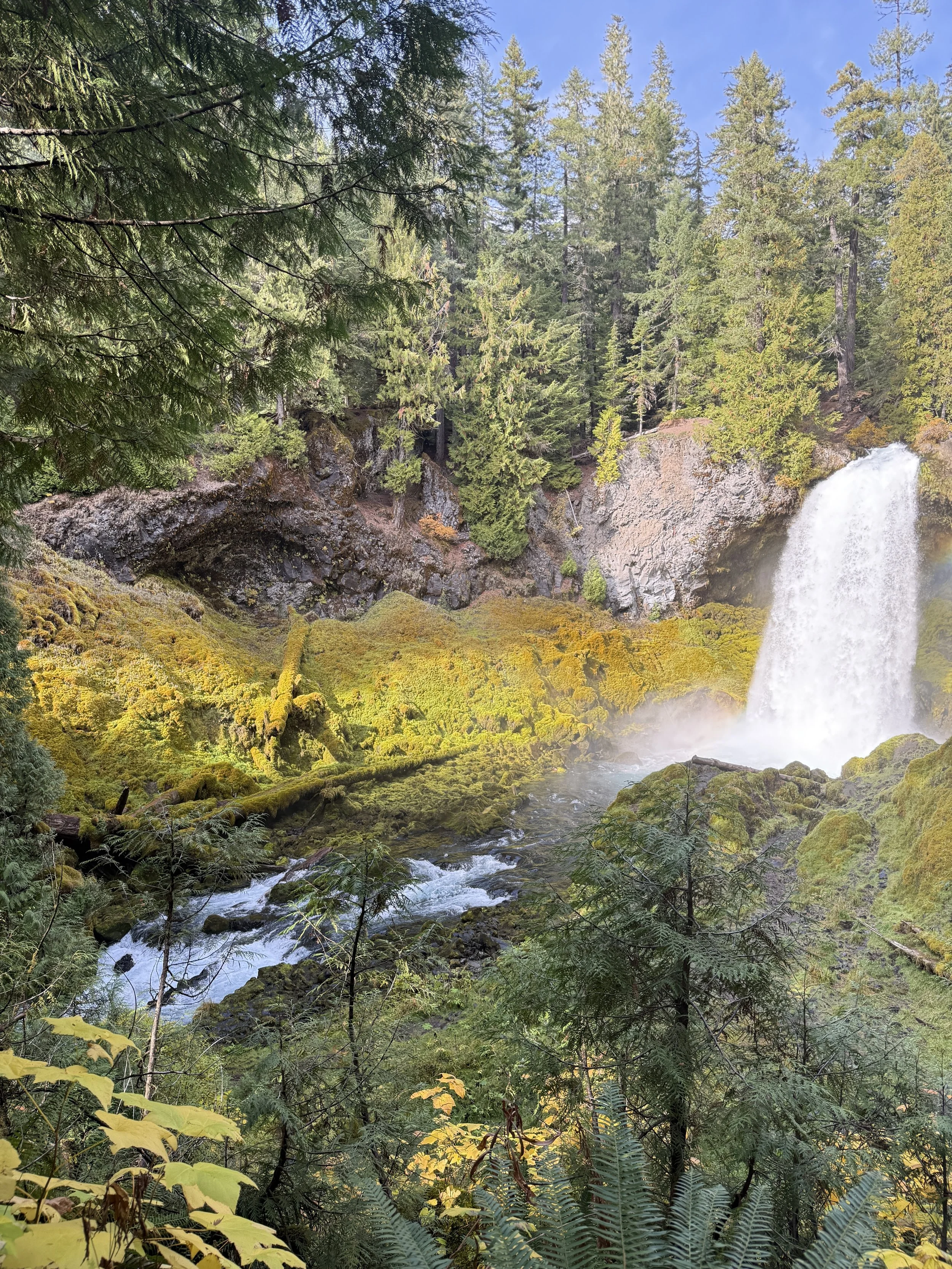
The Sahalie viewing platform is less than 100 feet from the parking lot and is wheelchair accessible.
The names come from Chinook Jargon — Sahalie means "Heaven," Koosah means "Sky." It was a rudimentary trade language people used to exchange news and goods in the area.
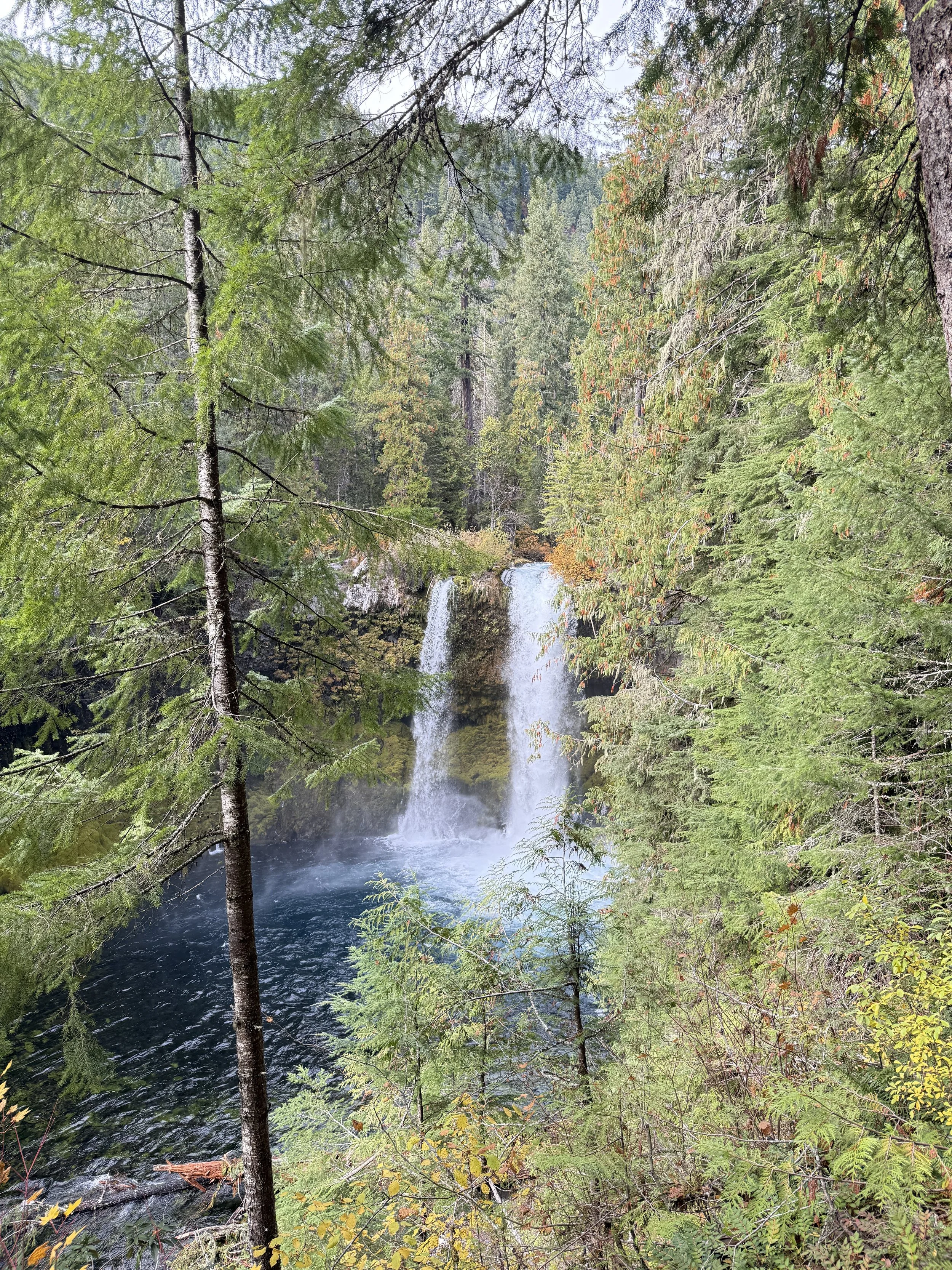
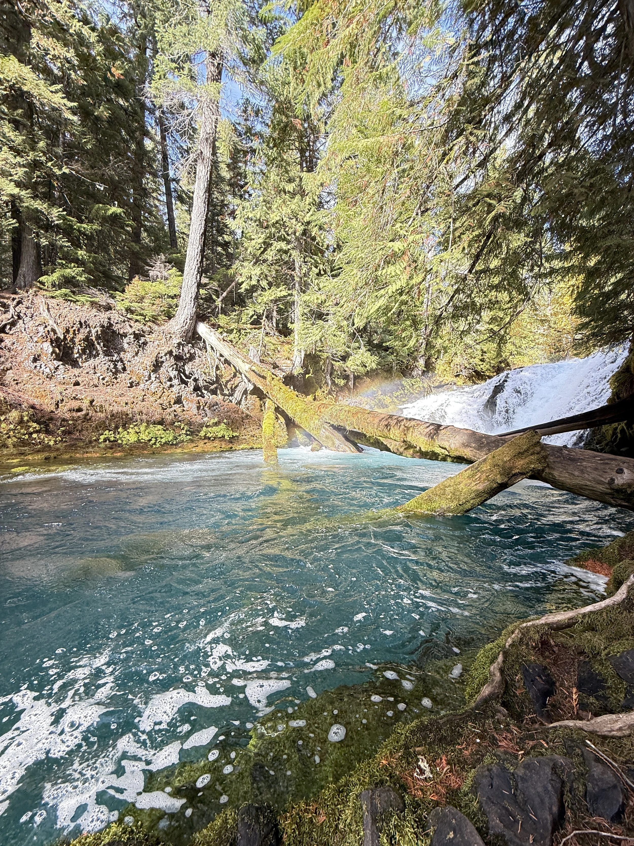
The falls mark the terminus of two thick flows of basaltic andesite lava that dammed Clear Lake and pushed into the McKenzie River 3,000 years ago. That's why the water is that unreal blue-green.
The Kalapuya, Molalla, Sahaptin, and Chinook peoples traveled and traded through here, possibly heading to the high Cascades for obsidian or to gather huckleberries. Interpretive panels at both sites tell the geology story.
The trails get busy at peak summer. April or May gets you the waterfalls at their roaring peak; October gets you fall color.